
Farm Discovery
Basic aerial photography and farm assessment.
Request a Quote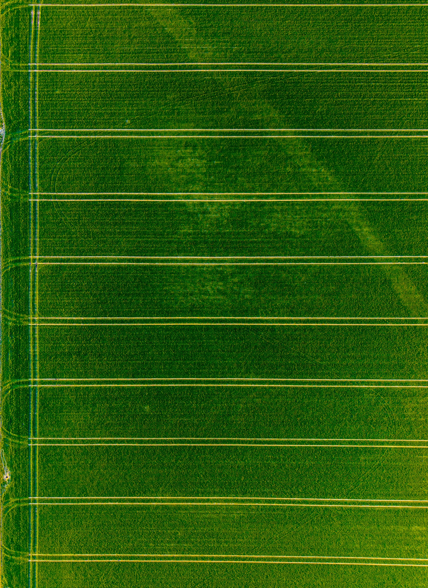
Aerial assessments, mapping, and progress documentation that help Bahamian farmers and landowners plan, monitor, and grow.
Services that need extra equipment, certifications, or regulatory permissions are marked “Coming Soon” until they are approved.
Basic aerial photography and farm assessment.
Request a QuoteMapping, monitoring, and progress documentation.
Request a QuoteRecurring monthly or seasonal monitoring.
Request a Quote