
Government & Enterprise Solutions
Supporting Smarter Decisions Through Aerial Data.
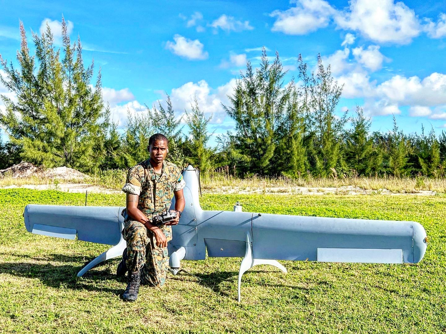
Procurement-ready aerial documentation, monitoring, and consultancy for public agencies and enterprise organisations across The Bahamas.
What we offer
Services
- Aerial surveillance support
- Environmental monitoring
- Disaster damage documentation
- Emergency response aerial support
- Infrastructure inspections
- Coastal erosion monitoring
- Land and property documentation
- Public infrastructure assessments
- Aerial mapping and surveys
- Drone consultancy
- UAV training for government agencies
All operations are subject to applicable Bahamian aviation requirements and approvals. FlyWright does not claim government contracts, security clearances, or regulatory authorisations that have not been verified. Emergency requests need urgent human review, and we can’t guarantee deployment.
Start the conversation